Authorised DJI Enterprise Partner · South Africa

Professional drones, sold and supported.

Pro-Agri supplies and supports DJI Enterprise drones across security, survey, mining and agriculture. A capable, B-BBEE compliant partner for the corporates that run South Africa.

Level 2
B-BBEE Contributor
125%
Procurement Recognition
Services + Sales
Full Drone Capability
Across Africa
Operational Footprint
Who We Are

The drone partner corporates can put on paper.

Pro-Agri is a professional drone services and sales company. We supply DJI Enterprise aircraft and payloads, deliver the services behind them, and back every deployment with support, from precision spraying to aerial survey and security.

As a B-BBEE enterprise, we give corporate procurement teams capability and transformation credentials in a single supplier. Work with Pro-Agri and both boxes are ticked properly.

Equipment

DJI Enterprise, matched to the mission.

No price tags, no checkout. Every enquiry is a conversation, spec'd to the operation. Specs are confirmed against the DJI datasheet per unit. Swipe on mobile.
Security & Inspection

Surveillance · Night Ops · Asset Inspection
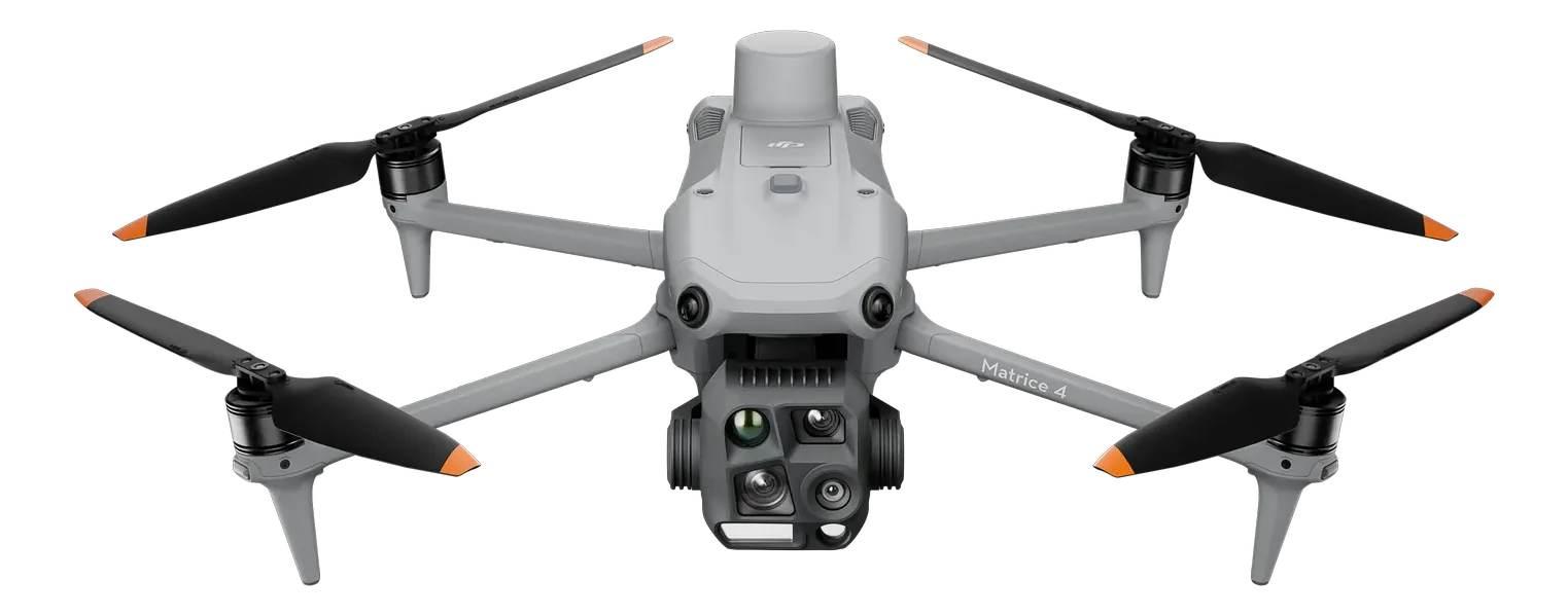
DRONEDJI Matrice 4T

Matrice 4T

Compact thermal platform for security patrols and inspection.
ImagingThermal + wide + 112× zoom
Flight timeUp to 49 min
Request details
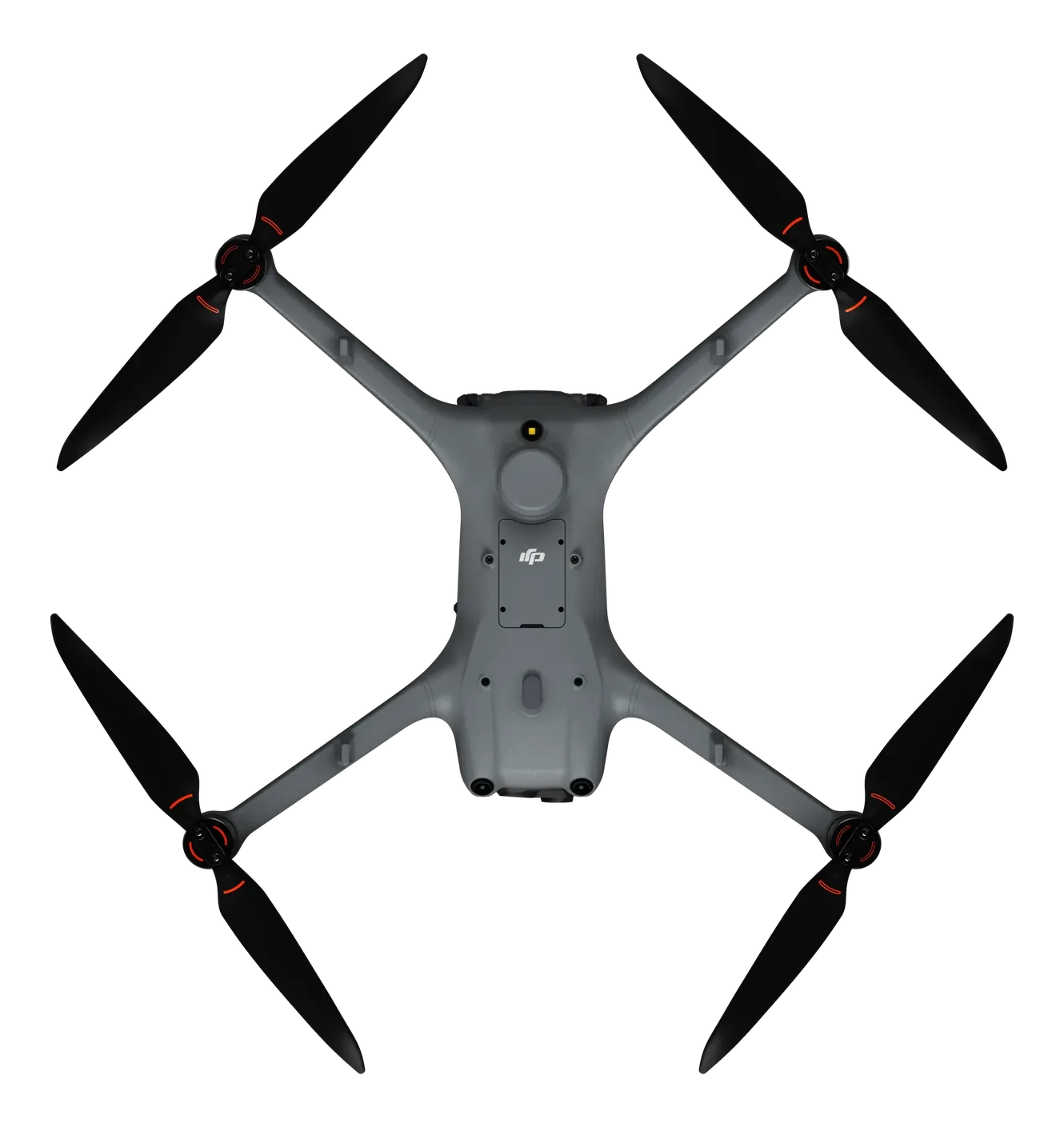
DRONEDJI Matrice 4TD

Matrice 4TD

Weatherproof thermal variant, built for DJI Dock 3 remote and automated operations.
RatingIP55 · −20°C to 50°C
Remote opsDJI Dock 3
Request details
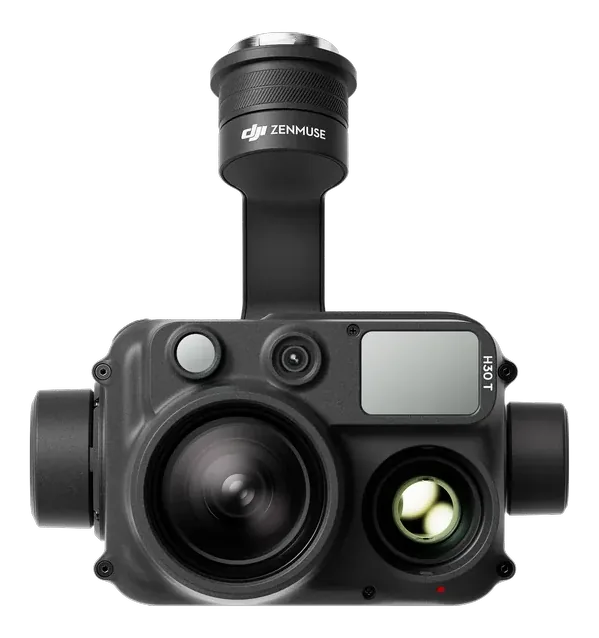
PAYLOADDJI Zenmuse H30T

Zenmuse H30T

Multi-sensor flagship payload for round-the-clock security imaging.
Zoom34× optical · 400× max
Thermal1280×1024 @ 30 fps
Pairs with the Matrice 400
Request details
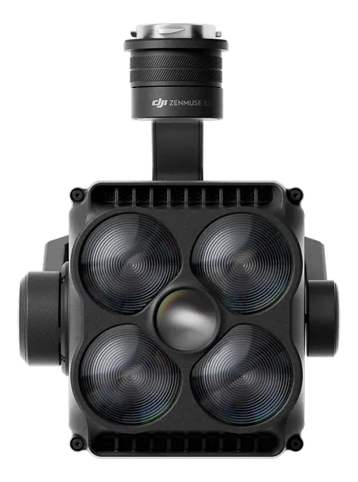
PAYLOADDJI Zenmuse S1 Spotlight

Zenmuse S1 Spotlight

High-output spotlight payload for night security operations.
Illuminance35 lux @ 100 m
Reach500 m
Pairs with the Matrice 400
Request details

Survey & Mining

Mapping · LiDAR · Volumetrics
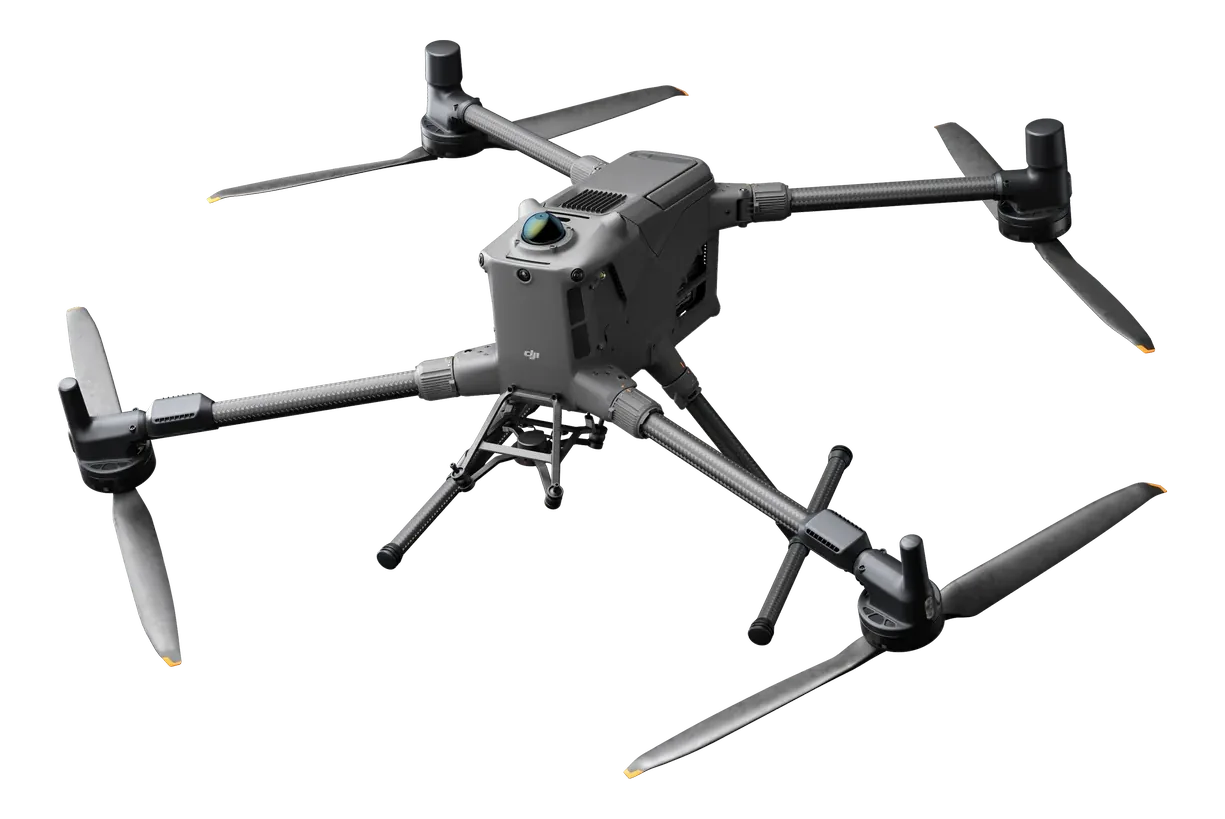
DRONEDJI Matrice 400

Matrice 400

Flagship modular platform for long-range survey and heavy payloads.
PayloadUp to 6 kg · multi-payload
Flight timeUp to 59 min
Request details
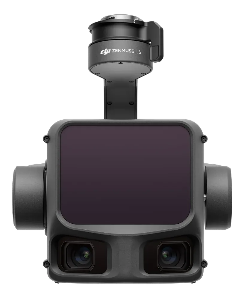
PAYLOADDJI Zenmuse L3 LiDAR

Zenmuse L3 LiDAR

LiDAR payload for terrain models, stockpiles and corridor survey.
Accuracy±10 mm ranging
RangeUp to 950 m
Pairs with the Matrice 400
Request details
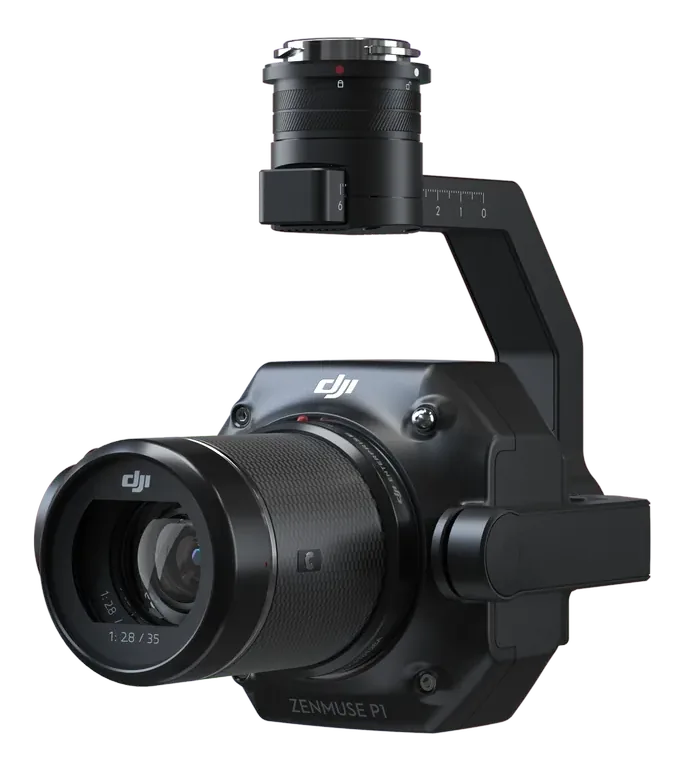
PAYLOADDJI Zenmuse P1

Zenmuse P1

Full-frame photogrammetry payload for high-accuracy mapping.
Sensor45 MP full-frame
Accuracy3 cm without GCPs
Pairs with the Matrice 400
Request details

Agriculture

Spray Drones · Crop Health · Precision
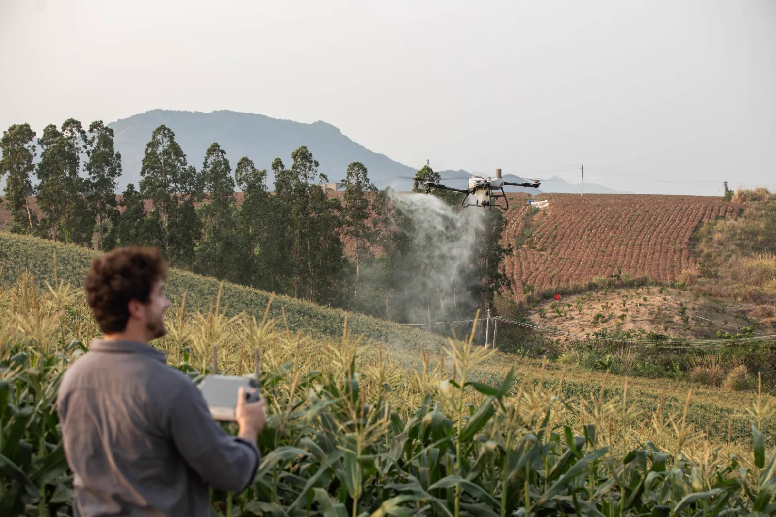
SPRAY DRONEDJI Agras T55 spraying a maize field

Agras T55

Spray drone in the DJI Agras range.
RolePrecision spraying
Spec sheetOn request
Request details
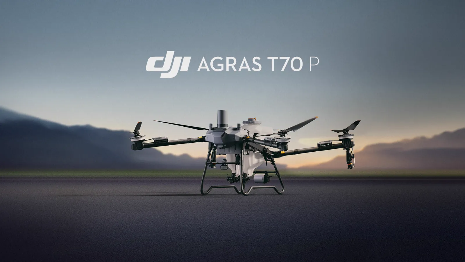
SPRAY DRONEDJI Agras T70P

Agras T70P

Multi-role sprayer: spraying, spreading and lifting in one aircraft.
Capacity70 L spray · 100 L spread
Lifting65 kg
Request details
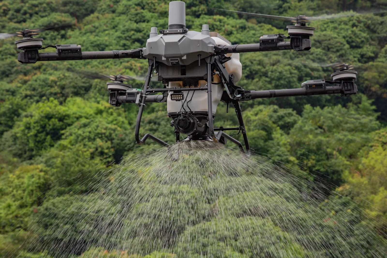
SPRAY DRONEDJI Agras T100 spreading over trees

Agras T100

DJI's flagship agricultural drone for the biggest jobs.
Capacity100 L spray · 150 L spread
Max payload100 kg
Request details
DRONEDJI Mavic 3 Multispectral

Mavic 3 Multispectral

Mapping and scouting drone for crop health and precision agriculture.
Sensors20 MP RGB + 4×5 MP multispectral
CoverageUp to 200 ha per flight
Request details

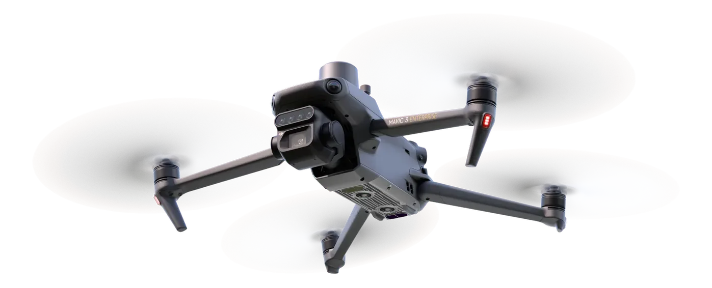
End-of-life models (M300 RTK, M350 RTK, Matrice 30, Mavic 3 Enterprise) are intentionally excluded. Pro-Agri supplies the current DJI Enterprise range only.

Services · Processing

Sold by us. Flown by us. Processed by us.

Expert crop data analysis and drone processing solutions — the "Processing" in Pro-Agri's name. Raw flight data goes in; maps, models and measurements come out.

01 · PROCESSING

Drone data processing

NDVI and crop health maps, orthomosaics, elevation and terrain models, volumetric and stockpile measurement, 3D models — 16 specialised processing services in all.

02 · OPERATIONS

Drone operations

Contract spraying, survey and mapping, and inspection flights flown by certified pilots when clients would rather outsource the flying.

03 · MONITORING

Satellite monitoring

ProagriView keeps every field under regular satellite observation between flights — crop health delivered as simple maps and reports.

FREE FOR 12 MONTHS WITH EVERY SPRAY DRONE
ProagriView

Satellite crop monitoring, every field, every week.

Regularly updated optical and multispectral satellite imagery with automated analytics, delivered as simple maps and reports. Monitor crop health, vigour and water stress without needing drones or on-site visits.

Who it's for

  • Commercial growers and farm managers
  • Agronomists and consultants across multiple farms
  • Farmers in remote areas where flights are impractical
  • Insurance brokers and agribusinesses needing crop records

What it delivers

  • Early detection of stress, disease and nutrient deficiency
  • Lower input costs through targeted spraying
  • Satellite-backed records for audits and insurance
  • Consistent decisions across many fields or farms
Explore ProagriView
Launching Soon

ProagriView TurfView

Satellite monitoring built for turf. Sports fields, estates, golf courses and greenbelts, watched from space with the same analytics that serve our farming clients.

Register interest
Introductions

Considering Pro-Agri as a partner?

Request our company profile, ask about a machine, or set up an introduction for your procurement team. We'll bring the credentials, the capability and the paperwork.

Request company profile Contact page & enquiry form
EMAILrajeeve@pro-agri.co.za PHONE082 085 0295 WHATSAPPMessage us any time
🟢